As temperatures drop and the woods turn red, orange and gold, the conditions are just right for discovering some of Italy’s loveliest trails in the countryside. Here are six autumn hikes in Italy, taking in Alpine ridges, lake-view paths and mule tracks in the southern Apennines, across areas stretching between the Dolomites and Calabria’s Sila plateau.
Odle Trail
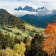
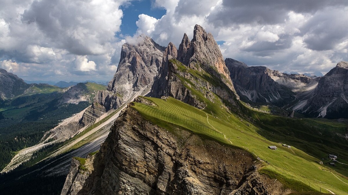
In the heart of the Dolomites lies one of South Tyrol’s most iconic routes, the Odle Trail. The route runs at the foot of the Odle mountain group, within the municipality of Funes, in the province of Bolzano. The classic starting point is the Odle mountain hut, reached via the Val di Funes. The circular route covers around 15 km, with roughly 900 metres of ascent.
Why walk it in autumn? The larches of Val di Funes turn golden between late September and mid-October, creating a striking contrast with the grey-silver Dolomite rock faces.
The route is classified as a moderately difficult hiking trail (EE), suitable for those with a reasonable level of fitness and experience of mountain elevation.
Wayfarer’s Path
Following the eastern shore of Lake Como, the Wayfarer’s Path is a historic route linking Abbadia Lariana and Colico over roughly 45 km, which can be split into day stages. The trail follows an ancient pre-Roman route and passes through villages, olive groves, chestnut woods and terraces with views across the lake and mountains.
During autumn, chestnut trees along the route become laden with prickly husks, coppiced woodland takes on warm shades, and the lake develops metallic reflections on low-mist days.
The difficulty is low to moderate, so it is accessible to less experienced walkers who are in reasonably good physical shape. Each stage ends in a town or village with services, which keeps the logistics fairly straightforward.

Brigands’ Trail
The Brigands’ Trail runs between Abruzzo and Lazio, in the heart of the central Apennines. It is a circular route of around 100 km that takes in historic villages, karst plateaus and centuries-old beech woods. The trail takes its name from the bandits who found shelter in these rugged border mountains between the Papal States and the Kingdom of the Two Sicilies during the 19th and early 20th centuries. The route begins and ends in Sante Marie, in the province of L’Aquila.
In autumn, the route comes into its own. The beech woods turn copper and amber, while high-altitude pastures take on golden shades and wildlife becomes more visible. The Brigands’ Trail is walked in seven stages of varying lengths, each covering 10–20 km, with daily elevation gain rarely exceeding 600 metres.
It is moderately difficult. Mountaineering skills are not required, but walkers should be prepared to spend several hours a day on occasionally uneven ground.

Sacred Forests Trail
Within the Casentinesi Forests National Park, straddling Tuscany and Romagna, lie the Sacred Forests, one of Europe’s most valuable natural heritage sites. The trail of the same name passes through fir, beech and monumental maple woods, leading to some of the park’s most significant places, including the Hermitage of Camaldoli and the Sanctuary of La Verna. The main local municipality is Poppi, a medieval village in the province of Arezzo, where several route variations begin.
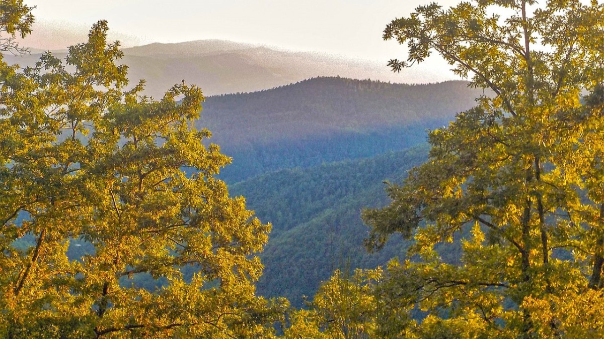
Few places in Italy provide autumn foliage comparable to that of Casentino. Protected by Benedictine and Franciscan monks since the Middle Ages, the forests contain centuries-old trees that take on an extraordinary range of colours in autumn, with lemon-yellow maples alongside wine-red beech trees.
The route can be adapted to suit different plans. Options range between a few hours of woodland walking and multi-day crossings between mountain huts and monasteries.
Difficulty therefore ranges from easy to moderate, depending on the route selected.
- Property for sale in the Casentino Forests
- Long-term rentals in the Casentino Forests
- Holiday rentals in the Casentino Forests
Path of the Gods
Suspended between sky and sea along the Amalfi Coast, the Path of the Gods is probably Italy’s best-known coastal hike. The route links Agerola, in the hamlet of Bomerano, with Positano along around 8 km of scenic trail, descending almost 600 metres.
Between June and September, the route is extremely busy and often requires booking. After October begins, visitor numbers drop sharply, while temperatures remain pleasant at around 15–22°C.
The classic upper route has a low-to-moderate difficulty level, following a clearly marked trail with views across the coast. Care is needed only on a few short exposed sections. caution only on a few short, exposed sections.
- Property for sale on the Amalfi Coast
- Long-term rentals on the Amalfi Coast
- Holiday rentals on the Amalfi Coast

Monte Gariglione Circuit
In Calabria’s Sila National Park, the Monte Gariglione Circuit is a lesser-known hiking treasure. At 1,765 metres, Gariglione is the highest summit in the Sila Piccola range. The circular route around it covers around 12 km, with 500 metres of ascent, passing through one of southern Italy’s most intact forests. The local municipality is Taverna, in the province of Catanzaro and the birthplace of the Baroque painter Mattia Preti.
During autumn, among the mountains of Sila, monumental larch pines, imposing beech trees and giant chestnuts create shades of green, yellow and brown that rival the forests of central Europe.
The route is moderately difficult, with a few steep sections on the climb to the summit but no exposed or hazardous passages. Carrying a map or using a GPS track is advisable.
- Property for sale in the Sila National Park
- Long-term rentals in the Sila National Park
- Holiday rentals in the Sila National Park
Stay inspired for your adventures in Italy —get our weekly newsletter for the latest travel, legal, and lifestyle news.