There’s a stretch of central Italy where rust-red rock towers rise sharply above green woodland, with a deep blue lake sitting just below. It looks oddly cinematic, almost American at first glance, yet this is very much the Marche region.
The Lame Rosse are often described as Italy’s Grand Canyon, and once standing beneath those reddish pinnacles, the comparison makes sense. Set in the Monti Sibillini National Park, this is one of the most striking natural sights in Le Marche.
Where are the Lame Rosse? Italy’s “Little Grand Canyon” explained
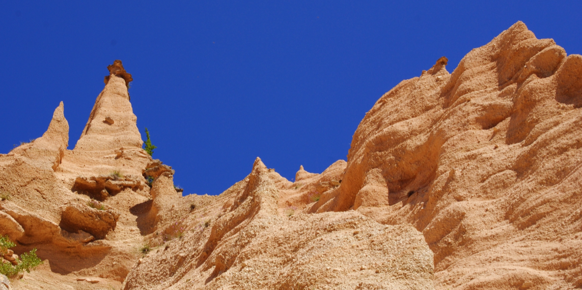
The Lame Rosse are a series of red rock formations shaped into towers, spires and steep walls that resemble a natural amphitheatre. Their colour shifts between orange and deep brick red, depending on the light, with paler tones higher up.
Geologically, they are made of gravel, clay and silt bound together by a natural limestone “cement”. Iron in the rock gives the canyon its warm red tones.
Historical deforestation for grazing exposed the slopes further, accelerating erosion and carving the dramatic gullies visible today. The result is a fragile, wind-swept formation that feels almost desert-like despite its Apennine setting.
Lame Rosse hike: route, distance and difficulty
The Lame Rosse hike is straightforward in layout but shouldn’t be mistaken for a casual stroll. It’s manageable for regular walkers, though proper footwear matters.
The most common starting point is near the dam of Lake Fiastra, on the northern side of the reservoir.
- Route type: out-and-back
- Total distance: approximately 6.5–7 km
- Elevation gain: roughly 300 metres
- Average time: around 3 hours return
Is the Lame Rosse hike suitable for beginners?
For anyone used to walking on mixed terrain, the hike is reasonable. It isn’t technical and doesn’t require climbing skills. That said, it’s not suitable for sandals or flimsy trainers, and the scree section demands attention.
Lake Fiastra: what to do after the hike
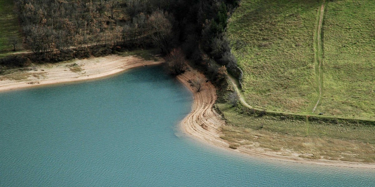
One of the reasons the Lame Rosse feel so special is their proximity to Lake Fiastra. The reservoir stretches for about 4 km, with an average width of roughly 500 metres. Near the dam, it reaches depths of around 87 metres.
In summer, when levels are generally higher, the lake becomes a popular spot for swimming and low-key water activities.
How to get to Lame Rosse and where to park
Reaching the Lame Rosse is straightforward by car, though summer weekends can get busy.
By car
Most visitors drive towards Macerata and continue inland in the direction of Fiastra and San Lorenzo al Lago. Once near the lake, follow signs for the dam, which marks the start of the trail.
- Main parking area: just before the dam
- Additional spaces: further along the access road
- Some sections have no-parking zones, clearly signposted
By public transport
Public transport options are limited. The nearest main train stations are on the Adriatic coast, including Civitanova Marche and Ancona. Regional buses connect inland towards Fiastra, though services are not especially frequent.
Lame Rosse sits in a part of Italy that still feels fairly unspoilt. It’s raw, slightly rugged, and refreshingly free of big-ticket tourism — just red rock, mountain air and that improbable blue lake waiting at the end of the trail.
Stay inspired for your travels in Italy —get our weekly newsletter for the latest travel, legal, and lifestyle news.